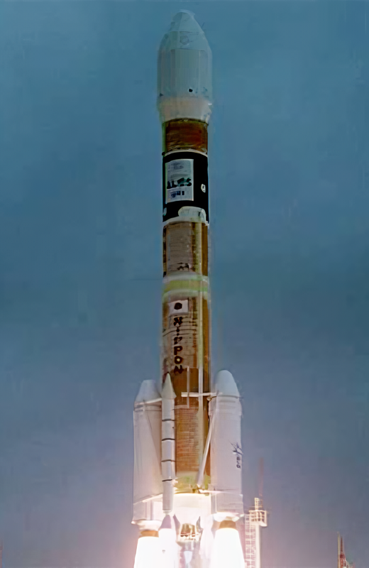
Daichi
Launch SuccessfulLaunch Details
Date: 24 Jan 2006, 01:33 am UTC
Rocket: H-IIA (H-II)
Provider: Japan Aerospace Exploration Agency
Mission
Type: Earth Science
Orbit: Sun-Synchronous Orbit
Pad: Yoshinobu Launch Complex LP-1, Tanegashima Space Center, Japan
Mission Description
ALOS (Advanced Land Observation Satellite) is used for cartography, regional observation, disaster monitoring, and resource surveying. ALOS has three remote-sensing instruments: - the Panchromatic Remote-sensing Instrument for Stereo Mapping (PRISM) for digital elevation mapping with 2.5 meter resolution, - the Advanced Visible and Near Infrared Radiometer type 2 (AVNIR-2) for precise land coverage observation with 10 meter resolution, and - the Phased Array type L-band Synthetic Aperture Radar (PALSAR) for day-and-night and all-weather land observation. ALOS transmitts its data via the DRTS (Kodama) satellite. The ALOS was launched by an H-2A-2022 launch vehicle from the Tanegashima Space Center. ALOS as been given the nickname Daichi. Five minutes after spacecraft separation, ALOS began to unfurl its 72-foot solar array that will provide electrical power to the craft throughout its mission. Six cameras are on-board to visually verify the correct deployment of the solar panel and various instrument antennas. ALOS lost all power on 22. April 2011, thus ending the mission.